Sylamore Area Recreation
Scenic Drives, Attractions, Activities, & Services
Between Mountain Home & Mountain View Arkansas
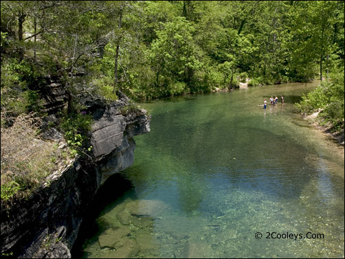
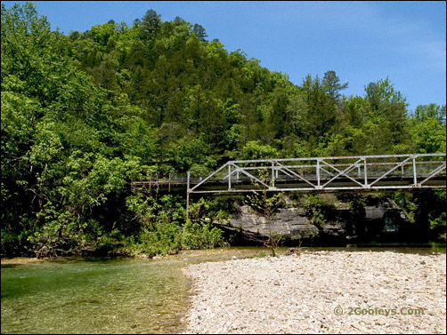
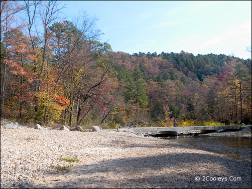
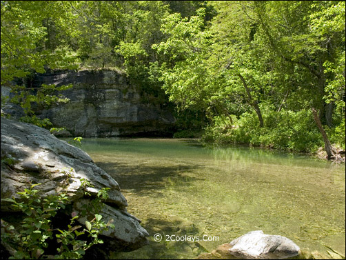
Sylamore Area is Norfork, Calico Rock, Allison, Fifty Six, Ozark National Forest, White River, North Fork River, Norfork Lake, Sylamore Creek National Scenic River Corridor, Leatherwood Wilderness Area

Get Free Sylamore Recreation Information
Pricing & Details On Lodging & Activities

Point 26-27 Photos

More Photo Tours
of the Ozark Mountains


p


p

Barkshed Recreation Area
in the Sylamore Creek National Scenic River Corridor

Barkshed Photo Page 1

barkshed recreation area

Photo 1 - Barkshed Recreation Area

The northwest  boundary of the Sylamore Creek National Scenic River
Corridor is right here on North Sylamore Creek at Barkshed. The Corridor
boundary is on photo right creek bank. The left bank is the boundary of
the Clifty Canyon Special Bontanical Interest Area. Camp sites are up
on the ridge above the swimmers. This view is from the center of the old
bridge shown below.
X
barkshed recreation area bridge

Photo 2 - Barkshed Recreation Area

The old bridge at Barkshed is no longer open to vehicles but it is open
to foot traffic. Cross this bridge to find the hiking trails and horse trail D.
At this beach is where Cap Fork Creek flows into North Sylamore Creek.
This area is another good swimming hole.
X
barkshed recreation area

Photo 3 - Barkshed Recreation Area

This photo is the opposite view from the one above, the downstream
view of North Sylamore Creek. Barkshed Recreation Area begins just
after this low water bridge on photo left.
X
barkshed recreation area north sylamore creek

Photo 4 - Barkshed Recreation Area

The water in North Sylamore Creek is "gin clear". All around the Barkshed
grounds the creek is lined with boulders and wildflowers.
X
dot.gif (43 bytes)
8 9 1